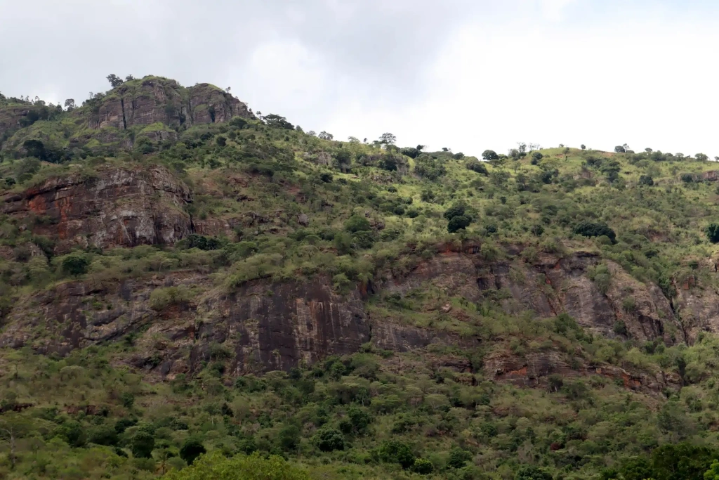
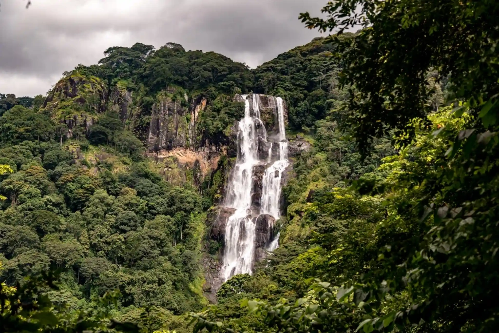
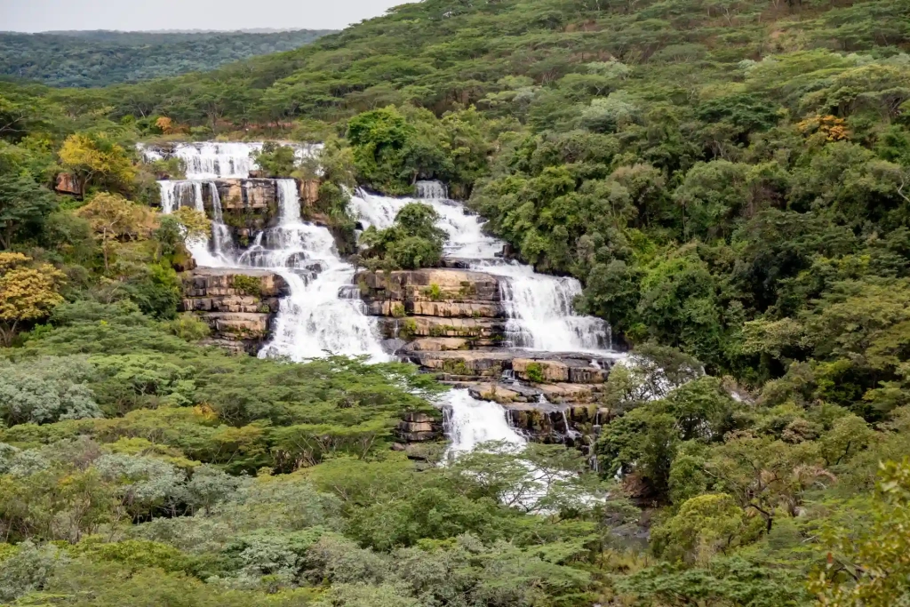
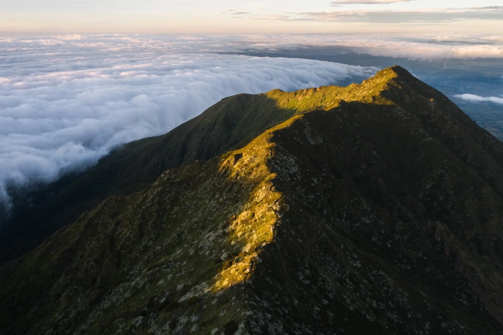
Tanzania is a country shaped by its unique geological history. The East African Rift, also known as the , runs through the heart of the country. Its formation millions of years ago created many of the peaks we’ll explore in this article. From Mount Kilimanjaro to lesser-known mountains, we’ll focus on Tanzania’s most fascinating peaks and popular hiking destinations for those who love a good trek.
What are the highest mountains in Tanzania?
There are various lists of the tallest mountains in Tanzania, depending on classification. For example, Kilimanjaro is undoubtedly the highest mountain in Africa. However, it’s not a single peak but a mountain massif made up of three distinct volcanic cones. Many list makers include Kilimanjaro three times, noting the main peaks of each volcano. The same happens with Mount Meru.
To avoid repetition and highlight as many Tanzanian mountains as possible, we will view Mount Kilimanjaro with its three volcanoes as a single mountain. The same principle will apply to Mount Meru.
:
Mount Kilimanjaro (Uhuru Peak) — 5,895 meters (19,341 feet) above sea level
Mount Meru — 4,562 meters (14,968 feet)
Loolmalasin — 3,648 meters (11,968 feet)
Mount Hanang — 3,420 meters (11,220 feet)
Oldeani — 3,220 meters (10,565 feet)
Lemakarot — 3,168 meters (10,395 feet)
Jaeger Summit — 3,157 meters (10,357 feet)
Makombra Peak — 2,970 meters (9,750 feet)
Ol Doinyo Lengai — 2,878 meters (9,440 feet)
Rungwe — 2,960 meters (9,715 feet).
Is Tanzania a mountainous country?
Tanzania is a geographically fascinating country with a landscape . It’s home to Africa’s highest peak, Mount Kilimanjaro, and its deepest lake, Lake Tanganyika. These are just two remarkable geological features shaped by the Great Rift Valley.
The rift is split into two branches, and Tanzania is part of both. The western branch runs along Lakes Tanganyika and Rukwa, influencing the landscape of the Southern Highlands. This region includes mountain ranges such as the Mbeya and Kipengere. The highest peaks in this area are Mount Mtorwe and Mount Rungwe, the latter ranking as the tenth tallest mountain in Tanzania.
The Eastern Arc Mountains, however, showcase a unique series of ridges that are considered the oldest mountains in East Africa. This range includes the Pare, Usambara, Nguru, Uluguru, and Udzungwa ranges, among others. In total, Tanzania boasts 12 mountain groups that form part of this ancient chain.
All of these mountains are at least 100 million years old. They are covered with tropical forests that inherit the richness of the ancient supercontinent . The biodiversity in these mountains is so rich that many are home to numerous endemic species of both animals and plants. Due to their ecological significance, all of the mountains in the eastern branch of the Great Rift Valley have been included in UNESCO's Tentative List of World Heritage Sites.
Later volcanic activity in the rift zone resulted in the creation of volcanoes like Mount Kilimanjaro. Among these are active volcanoes such as Meru and Ol Doinyo Lengai. This group also encompasses the crater highlands formed around the famous Ngorongoro Crater.
Amid the Valley lies the expansive East African Plateau, with elevations ranging from 1,000 to 1,500 meters (3,300 to 4,900 feet) above sea level. This plateau is the source of major rivers such as the Congo, Zambezi, and Nile, and it also hosts Africa's largest lake, Victoria. Additionally, the region is renowned for its significant archaeological discoveries. In the Olduvai Gorge, scientists unearthed some of the earliest human ancestors.
Now, let's explore the most fascinating mountains of Tanzania, starting with Kilimanjaro.
Why is Mount Kilimanjaro so famous?
The Roof of Africa attracts more attention than all the other mountains in Tanzania combined. Each year, about 60,000 people worldwide come to climb Kilimanjaro. What draws these adventurers?
Mount Kilimanjaro is part of the Seven Summits and is one of the most accessible for inexperienced climbers. In contrast, other mountains present significant challenges. For example, Denali and Everest are technically demanding peaks that require advanced mountaineering skills. Expeditions to Everest, as well as to Vinson in Antarctica, are notoriously expensive due to their remote locations and the complexities involved in organizing them.
Kilimanjaro is located in a relatively accessible and comfortable part of the world—a tropical African country with a well-developed tourism infrastructure. Climbing Mount Kilimanjaro involves trekking rather than technical rock climbing, with the journey divided into daily segments and overnight stays in camps. For those embarking on this adventure, the logistics are well-managed: climbers only need to focus on trekking between points, while tour operators take care of gear transportation and camp arrangements.
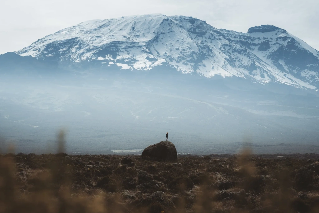
Another reason for Kilimanjaro’s popularity is its exotic appeal. Despite its proximity to the equator, its immense height allows glaciers and snow to persist at its summit. As glaciers near the equator are rapidly vanishing, this feature attracts many people eager to visit Kilimanjaro's alpine meadows and witness ice in Africa firsthand.
Mount Kilimanjaro also offers other unique attractions that draw so many travelers. For example, many visitors are excited to see the distinctive plants that thrive on the mountain. Notable among these are Kilimanjaro's giant groundsel and the giant lobelia.
Discover more fascinating facts about Mount Kilimanjaro and read about some of the most remarkable records set there by both athletes and everyday adventurers. If you're feeling inspired to tackle the Roof of Africa, consider joining a climbing group.
Is Mount Meru harder than Kilimanjaro?
Mount Meru is often called Kilimanjaro's twin, not just because it's the second-highest peak in Tanzania and the fifth-highest mountain in Africa but also due to its proximity. The straight-line distance between Uhuru Peak on Kilimanjaro and Socialist Peak on Meru, which stands at 4,562 meters (14,968 feet) above sea level, is only 70 kilometers (43 miles). On clear days, both peaks are prominently visible from the broad region between the cities of Moshi and Arusha.
The similarities between Tanzania’s two highest mountains go beyond their heights. Expeditions to Mount Meru are a popular adventure, though they don’t draw as many climbers as Kilimanjaro. Many choose Meru if they find Kilimanjaro's towering height a bit intimidating. Moreover, Mount Meru is an excellent way to prepare for climbing Africa’s highest peak. Its shorter treks and lower elevation make it a great option for acclimating to higher altitudes. More than that, Meru is located in the Arusha National Park, giving mountain climbers a chance to enjoy watching wildlife along with mountain trekking.
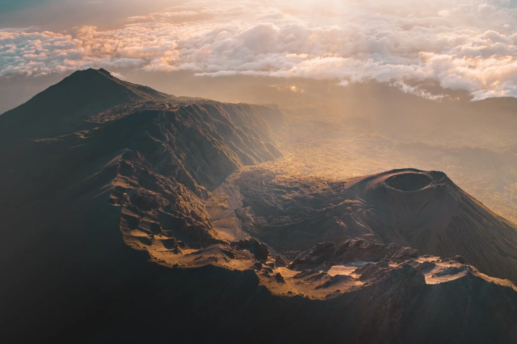
Mount Meru is an active volcano with a history of powerful eruptions. Once, a large lake filled its crater, but a major eruption caused the eastern wall to collapse. The subsequent flood of water, lava, and debris formed a series of lakes in the valley, now known as the Seven Momella Lakes. Another notable feature near Meru is a massive fig tree so large that safari vehicles can drive underneath it, and even elephants can pass by.
The most recent eruption of Meru occurred over a century ago, in 1910. Today, volcanic activity is minimal.
What is special about the Ngorongoro Crater Highlands?
When German explorers first discovered and began studying this region in the early 20th century, they named it Riesenkraterhochland, meaning the Plateau of Giant Craters. This name accurately describes the unique highlands in northern Tanzania, spanning the Arusha and Manyara regions. The plateau features a group of extinct volcanoes and collapsed craters, creating a landscape that some compare to the lunar surface. However, unlike the barren, rocky expanses of the Moon, Tanzania's crater highlands are lush and vibrant, filled with forests, lakes, and diverse wildlife. Both Arusha and Manyara regions feature protected areas, named accordingly: Arusha National Park and Lake Manyara National Park.
The crater highlands consist of eight extinct volcanoes, craters, and hills:
- Loolmalasin
- Empakaai
- Oldeani
- Lemakarot
- Olmoti
- Ol Doinyo Lengai
- Gelai
- Satiman
- Kitumbeine
- Kerimasi
- Meto Hills
- Ngorongoro
The crater highlands also include Lake Eyasi, located near the Ngorongoro Crater.
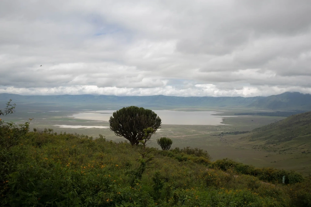
The Ngorongoro Crater is the most renowned feature of the highlands. It is considered one of Tanzania’s top attractions, alongside Mount Kilimanjaro and the Serengeti. This area was once the site of a massive volcano, potentially taller than Mount Meru and even approaching the height of Kilimanjaro. Around 2 million years ago, the volcano collapsed, forming a vast caldera with a diameter of about 20 kilometers (12 miles). Today, the caldera’s 610-meter (2,000-foot) high walls enclose a rich diversity of wildlife, making it a prime destination for nature enthusiasts.
The Ngorongoro Crater is listed among the for its biodiversity and the density of wildlife unmatched anywhere else on the continent. Along with neighboring craters like Empakaai and Olmoti, and other surrounding features, it forms the Ngorongoro Conservation Area, named after the largest caldera. This protected area is part of the UNESCO World Heritage Site.
Another notable feature within the protected area is the Olduvai Gorge, which holds immense historical and cultural significance. Archaeologists have uncovered remains of some of the earliest human ancestors at this site, providing valuable insights into the evolution of our species.
While the volcanoes and craters of the Crater Highlands may not be renowned for mountaineering expeditions, Loolmalasin, the third-highest mountain in Tanzania, is the highest peak in this region.
What are the mountains in the northeastern part of Tanzania?
In northeastern Tanzania, two prominent mountain ranges draw the interest of hikers and nature enthusiasts: the Pare Mountains and the Usambara mountain range.
Both ranges are divided into subgroups: the North and South Pare Mountains, and the West and East Usambara Mountains. The East Usambara Mountains, in particular, are renowned for the Amani Nature Forest Reserve, a globally recognized area. This reserve boasts a wealth of endemic plants and animals, drawing naturalists, birdwatchers, and other nature enthusiasts eager to explore its unique biodiversity.
These mountain ranges share a common history and ecosystem and are part of a larger, ancient mountain system known as the Eastern Arc Mountains.
This is the oldest mountain system in East Africa, dating back to when the continent was part of the supercontinent Gondwana, which was covered with shallow seas. Even then, these mountains stood tall above the waters.
This mountain chain system encompasses several mountain ranges:
- North and South Pare Mountains
- West and East Usambara Mountains
- Uvidunda
- Nguru
- Ukaguru
- Uluguru
- Malundwe
- Rubeho
- Udzungwa
- Mahenge
- Taita Hills (in Kenya).
All the mountains in the system are located in Tanzania, except the Taita Hills in Kenya. They are renowned for their incredible biodiversity and high number of endemic species, earning them the nickname "African Galapagos."
The largest mountain formations in the mountain chain include the previously mentioned Pare, Usambara, and Udzungwa ranges. The highest peak in this range is Mount Luhombero, which stands at 2,490 meters (8,163 feet).
The Udzungwa Mountains, located in central Tanzania to the south, are a massif renowned for their rich biodiversity. The ecosystem here has evolved over a long period, marked by isolation from surrounding savannahs and high levels of rainfall. This unique combination has made the Udzungwa Mountains one of the most biodiverse regions on the planet. The forests in these mountains extend from 300 meters (985 feet) to 2,000 meters (6,560 feet) above sea level, making them the most extensive vertical forest range in East Africa. A portion of these forests is protected within the .
Tanzania's Southern Highlands
In addition to the Crater Highlands in northern Tanzania, the southwest region features another significant highland area. This region is characterized by several volcanic mountains and high plateaus. The highest peak in this area is Mount Rungwe, which ranks 10th among the tallest mountains in Tanzania.
The Southern Highlands are home to several prominent mountain ranges, including the Mbeya Range, the (which extend into the volcanic Poroto Mountains), the Umalila Mountains, and the extinct Rungwe volcano. This region also features the Matengo Highlands, renowned for its Arabica coffee, which was introduced from the Kilimanjaro region about a century ago. Many Tanzanian mountains are known for producing exceptional coffee, so if you’re not yet acquainted with the local premium varieties, now is the perfect time to explore the best coffee from Tanzania.
In addition to the mountains, the Southern Highlands also feature the Ufipa and Kitulo plateaus. Both plateaus are situated at high elevations, rising prominently above the surrounding plains and lakes. The average altitude of the Ufipa and Kitulo plateaus is 2,540 meters (8,333 feet) above sea level.
Are there mountains near Lake Tanganyika?
Mahale Mountains and Gombe Stream are small mountain ranges near Lake Tanganyika. These mountains are notable for their dense forests, inhabited by chimpanzees—our closest relatives. This is their primary claim to fame. To study chimpanzees and protect their habitat, national parks have been established, which we cover in our blog: Gombe Stream and Mahale Mountains.
Visiting these mountains and hiking through their forests is closely tied to wildlife observation. Hikers come to witness the daily lives and interactions of chimpanzee clans in their natural habitat. One unique aspect of these forested areas is their remote location—both Gombe Stream and Mahale Mountains National Parks are only accessible by boat, with visitors crossing Lake Tanganyika to reach them.
The Gombe Stream National Park is far more renowned worldwide, largely thanks to primatologist Jane Goodall, who lived there for nearly 30 years, bringing global attention to the park. In the Mahale Mountains National Park, chimpanzee observation has been ongoing since 1965. For mountain enthusiasts, Mahale might be of greater interest. The highest peak in the Mahale mountain range is Mount Nkungwe, which reaches 2,520 meters (8,268 feet).
What are other notable mountains in Tanzania?
We can't list all 2,395 recognized mountains in Tanzania, but a few stand out on the country's physical map. Among them are the highland plateau of Mbulu and Mount Hanang, which is located farther south.
Mbulu is a highland plateau located south of the Crater Highlands, nestled between Lakes Eyasi and Manyara. Its elevation ranges from 1,500 to 2,300 meters (4,920 to 7,545 feet) above sea level. The plateau is blanketed with forests, including mountain evergreen forests, and contains two significant forest reserves.
We've already covered nearly all of Tanzania’s top ten highest mountains. Most are found in the crater zone around Ngorongoro, with Rungwe towering over the Southern Highlands, while the leading peaks, Kilimanjaro and Meru, are situated in the northern part of the country. The only one left to mention is Mount Hanang, which ranks fourth among Tanzania's tallest mountains.
Mount Hanang is located within the Hanang Nature Reserve. This dormant volcano is forested at its lower elevations, while higher up, the landscape transitions to shrubs, grass, and scattered rocks. Hanang is not as popular with hikers as Mount Meru, but still draws visitors from time to time, offering a more secluded experience.
In Tanzania, there are other noteworthy mountains as well. For example, the Monduli Mountains, situated between the Crater Highlands and Mount Meru, or Mount Longido, which stands near the border with Kenya at an elevation of 2,629 meters (8,620 feet).
We highly recommend checking out Jackson Groves' hiking reports on Tanzania’s mountains, which can be found on his blog. He spent two months in the country, traveling with Altezza Travel across various regions and climbing some of Tanzania's most notable peaks. His reports are detailed and illustrated with vibrant photos. Many of his hikes include treks to waterfalls, as mountain landscapes often feature breathtaking cascades. One good example is the Materuni Waterfall, the most popular waterfall on Mount Kilimanjaro.
All content on Altezza Travel is created with expert insights and thorough research, in line with our Editorial Policy.
Want to know more about Tanzania adventures?
Get in touch with our team! We've explored all the top destinations across Tanzania. Our Kilimanjaro-based adventure consultants are ready to share tips and help you plan your unforgettable journey.


