What is really the tallest mountain in the world? The answer to that question is not as straightforward as most of us would expect. In this article, we will explore the truth behind Mt. Everest’s claim to being the highest mountain in the world. You will learn about the alternative approaches to measuring the heights of mountains, find out about the top 5 highest peaks on Earth and beyond, as well as learn many interesting facts about the most awe-inspiring mountains known to humanity.
Top 5 Highest Mountains on Earth
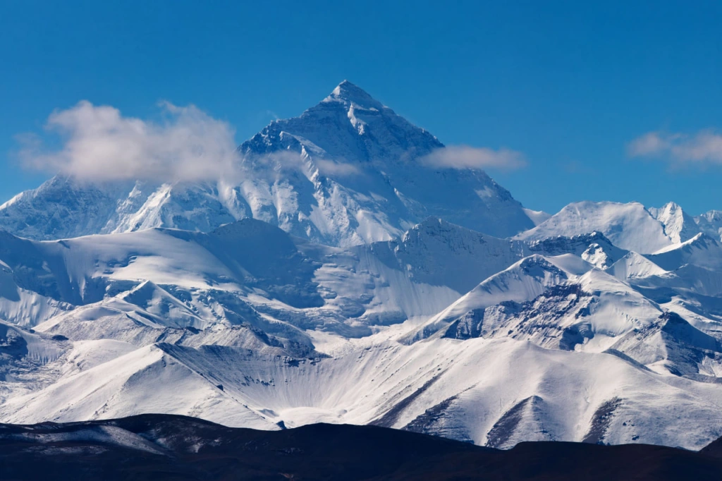
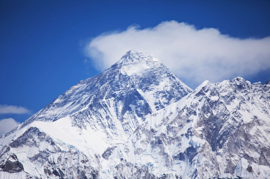
It is commonly believed that Mount Everest is the tallest mountain that humans can reach. The figure of its height is truly impressive - (29,029 feet). Among climbers, conquering Everest is often considered the ultimate achievement. If you reach the top of this imposing mountain, it means you have entered the select group who have conquered the "roof of the world." The total number of people who have reached the summit of Everest in the past 100 years is no more than
Mount Everest
Other names: Sagarmāthā, Chomolungma, Zhūmùlǎngmǎ Fēng
Elevation: 8,848 meters (29,029 feet) above sea level
In the world of mountaineering, there are two popular lists of coveted peaks: the Seven Summits and the Eight-thousanders. The Seven Summits consist of the highest peaks from each of the seven continents and serve as goals for climbers of various skill levels.
Those who conquer all seven summits can claim to have stood on the highest points of each continent: Mont Blanc or Elbrus for Europe (depending on how one defines Europe), Denali for North America, Aconcagua for South America, Jaya or Kosciuszko (depending on the continent's boundaries) for Australia, Vinson for Antarctica, Kilimanjaro for Africa, and Everest for Asia. Of these experiences, climbing Kilimanjaro is one of the most accessible and affordable.
The term "eight-thousanders," as one can guess from the name, refers to peaks that exceed the height of 8,000 meters (26,247 feet). There are a total of 14 of them, and they are all located in Asia, in the Himalayas and Karakoram ranges.
Both lists are topped by Everest - the highest Himalayan mountain. Approximately 50 million years ago, the Indian tectonic plate collided with the massive Eurasian plate. The compression of rock at the plate boundary formed a mountain range that we now call the Himalayas and the Tibetan Plateau. Interestingly, the process of India's ongoing collision with Eurasia means that Everest will become even taller over time. Currently, Everest's height is increasing at a rate of a few millimeters per year.
Attempts to conquer the highest mountain on Earth began in the 1920s, with success finally coming to determined climbers in 1953. Today, Everest is considered a popular destination for climbers. Multiple films have been made about conquering Everest, and there are 20 different routes to its peak. Each year, hundreds of individuals set out to reach the summit.
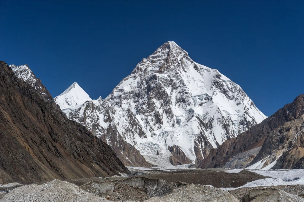
K2
Other names: Chogori, Godwin-Austen, Dapsang
Elevation: 8,611 meters (28,251 feet) above sea level
K2 is located in the Karakoram mountain range and is its highest point. This mountain range, being dense with the highest mountains on our planet, is situated in Central Asia, mostly in Pakistan and partially in India, China, Afghanistan, and Tajikistan. Such an impressive quantity of incredibly high summits is due to the collision of the Indian and Eurasian tectonic plates that began a long time ago and the ongoing thrusting of the former into the latter at a rate of 4 centimeters per year. Currently, the Karakoram remains a geologically active region.
The most well-known name for this infamous mountain - “K2” emerged in the 1850s, thanks to the British surveyor Thomas George Montgomerie, who explored India and, in particular, the Karakoram mountain range. He gained fame for accurately calculating the heights of the mountains in this area, which were later confirmed by more precise surveys. However, he did not propose names for individual peaks but simply numbered them, using the letter "K" in all the names, which stands for "Karakoram."
Another peak received the name K1, which came first when looking at the series of peaks from west to east. It was later renamed Mashabrum. Its height is 7821 meters above sea level. Montgomerie gave numbered names with the letter "K" to a total of five peaks, but only K2 retained its original name.
K2 is considered one of the most challenging mountains for climbing in the world. A K2 ascent is technically more difficult than Everest and possibly the most difficult among all the eight-thousanders. Conquering the peak of K2 presents a formidable challenge, not only due to its towering height but also the treacherous steepness of its routes and the ferocious storms that ravage the mountain.
Comparing K2 to Everest, one can notice a difference in the number of people who have reached the summit. While Everest has been scaled by thousands, the summit of K2 has only been attained by a select few hundred individuals. If we look at the statistics before 2021, the number is approximately 100 people. Starting from 2021, K2 has been attracting more and more people, and the commercialization of ascents has accelerated significantly. In 2021, Nirmal Purja and nine other climbers made the first successful winter ascent to the summit, and in 2022, an astounding 145 climbers reached the pinnacle of K2 within a single day. Furthermore, in 2022, a record number of ascents, including successful ones, was set, significantly reducing the mountain's mortality rate.
Prior to this mass climbing, the mortality rate on K2 was 20%, making it the second deadliest mountain in the world after statistics from Annapurna I. After the successful mass ascents in 2022, the mortality rate statistic on K2 dropped to 13%. It seems that soon everyone might forget the informal nickname of K2, "Savage Mountain." This name arose from the words of mountaineer George Irving Bell, who once said that K2 is a savage mountain that tries to kill you. Nevertheless, K2 remains the deadliest peak among our five.
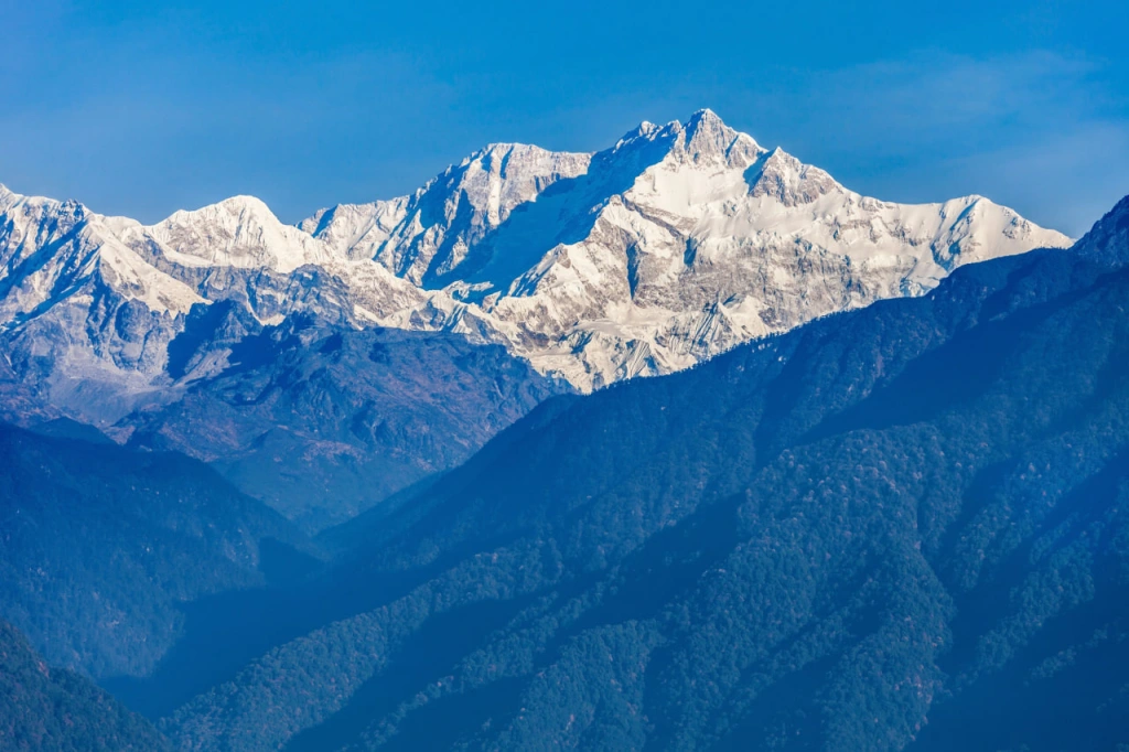
Kangchenjunga
Name of the highest peak: Kangchenjunga Main
Elevation: 8586 meters (28,169 feet)
Kangchenjunga takes us back to the Himalayas, where the main peak of this mountain range is considered the second highest after Everest. The main Kangchenjunga massif has a total of five peaks, with the highest one being called Kangchenjunga Main. It lies on the border between Nepal and India, and for India, it is the highest mountain. Interestingly, until 1852, this peak was considered the highest on Earth, and the missing 262 meters (860 feet) of Everest were only discovered as a result of the British Great Trigonometric Survey of India, led by geographer George Everest.
The name of the mountain range translates from the local Tibetan language as "Five Treasures of the Great Snows." Some believe it refers to the five peaks, others to the five glaciers, and some enumerate the material wealth hidden inside the mountain. In local folklore, the mountain is said to conceal the Valley of Immortality from prying eyes. Supposedly, treasures are hidden here, which will be revealed to the faithful in times of danger and help them survive. These places were also believed to be the home of the malevolent mythical creature - the Demon of Kangchenjunga. Moreover, it was believed that the abode of the Yeti was in these areas.
The mystical interpretation of this inaccessible terrain has attracted not only climbers but also followers of esotericism. During the first attempt to climb Kangchenjunga, the famous British occultist Aleister Crowley was among the climbers, the same "black magician" who attracted the interest of The Beatles and Led Zeppelin, and to whom Ozzy Osbourne dedicated a whole song. The attempt to conquer the enigmatic mountain was unsuccessful at that time; the team reached an altitude of approximately 6,500 meters and then had to turn back. The Demon of Kangchenjunga ultimately claimed four members of that group - one climber and three local porters perished in an avalanche.
Another myth surrounding this mountain is that it is unconquerable by women. Women climbers began ascending Kangchenjunga in the 1990s, but they all perished on the mountain. Later, Janet Harrison successfully reached the summit, but the following year, she died on another Himalayan peak. In the 2000s, the myth of the unconquerable mountain for women was finally dispelled when several successful ascents took place. It should also be mentioned that no signs of treasures or evidence of the existence of the Yeti near Kangchenjunga have ever been found.
Today, there are several routes to the top of Kangchenjunga, most of which pass through the Nepalese slopes of the mountain. From the Indian side, there is one route, but the Indian authorities had to close it due to dissatisfaction among the local community. Religious members of the community consider the ascent of foreigners to the sacred peak as a desecration of the abode of the gods. It is claimed that participants of successful ascents, out of respect for the beliefs of the people of the Indian state of Sikkim, stop a few steps from the summit to leave the sacred land untouched. At least, this was the case with early expeditions.
Among climbers, this mountain is renowned for being very challenging. Some rank it as the second most difficult after K2. It has steep slopes and a high risk of avalanches. Many climbers have perished under descending snow masses on their way back after successfully conquering the peak.
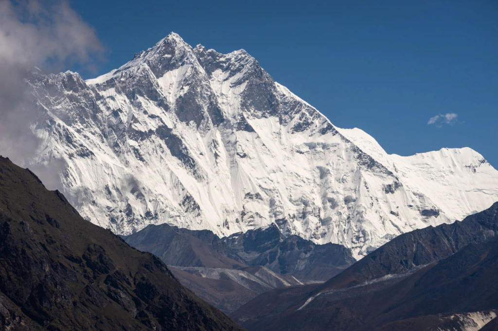
Lhotse
Name of the highest peak: Lhotse Main
Elevation: 8,516 meters (27,940 feet)
We are once again transported to the Mahalangur Himal, the highest mountain range on our planet, where Mount Everest majestically stands. Lhotse is located just three kilometers south of Everest and shares common sections of routes with it. They are connected by a pass called South Col. The connection between these two mountains is reflected in the name Lhotse, which translates from Tibetan as "south peak" or "southern extremity." Local inhabitants perceived Lhotse as the southern part of Everest, although geologically they are separate mountains.
Actually, the main ridge of this mountain has four peaks: Lhotse Main, Lhotse Middle, Lhotse Central 2, and Lhotse Shar. Out of the four peaks, only Lhotse Central 2 remains unclimbed. Together with Lhotse Middle (also known as Lhotse Central 1), they are among the most challenging and dangerous peaks above 8,000 meters (26,247 feet) above sea level that have resisted mountaineers and remained inaccessible. The height and steepness of Lhotse's South Face, which "drops" 3,000 meters (9,842 feet) below these subsidiary peaks, intimidated climbers. For a long time, Lhotse Middle was considered the highest unclimbed peak on Earth (8,410 meters/27,589 feet) until a Russian expedition finally reached its summit in 2001. No one has yet reached the neighboring peak.
The third subsidiary peak, Lhotse Shar, with a height of 8,383 meters (27,503 feet), has a notorious reputation. Earlier, we mentioned Mount Annapurna I as the deadliest among the eight-thousanders, but in reality, Lhotse Shar claims even more lives of climbers. Every second person attempting to conquer it perishes. Officially, this grim ranking is hindered by the fact that it is not considered a separate mountain. Considering the overall statistics of all four Lhotse peaks, this mountain massif no longer appears as ominous.
Interestingly, the legendary mountaineer Reinhold Messner became the first person to summit all 14 eight-thousanders, with Lhotse being the last on his list. This happened in 1986. Messner seized the victory from his main rival, the Polish climber Jerzy Kukuczka, who became the second person to conquer the eight-thousanders. During those years, the world witnessed an intense race among mountaineers, and the tension reached unprecedented levels. All participants felt significant pressure from the media and fans worldwide. After completing the race, Messner nobly sent a telegram to Kukuczka with the words, "You are not second, you are great."
Remarkably, Lhotse, being the final point on Messner's list, was the first for Kukuczka. The Polish mountaineer conquered the mountain in 1979. However, later, this mountain became his last. We have already mentioned the intimidating and extremely challenging South Face of Lhotse. Reinhold Messner referred to it as the "Wall of the 21st Century," implying that conquering it would require the next generation of climbers, and its conquest would be the culmination of mountaineering. In 1989, Jerzy Kukuczka, along with his partner, embarked on establishing a route on the precipitous South Face of Lhotse but tragically fell, forever remaining on the slopes of the fourth-highest mountain in the world.
The South Face was successfully climbed in the following year, 1990, by a pair of Soviet climbers: Sergey Bershov from Ukraine and Vladimir Karataev from Russia. The pioneers successfully ascended the South Face, which had eluded Reinhold Messner in three attempts and claimed Jerzy Kukuczka's life. Bershov and Karataev had to spend four days at an altitude of 8,000 meters (26,247 feet) before the weather allowed them to begin their descent. Vladimir Karataev suffered frostbite on his hands and feet at the summit, ultimately losing all 20 fingers and toes. In 2012, Sergey Bershov wrote a book titled "The South Face of Lhotse" about this heroic expedition. This climb is considered the highest sporting achievement in mountaineering. No one before or since has repeated this feat.
Today, there are several routes leading to the summit of Lhotse. It is believed that this mountain has the fewest number of routes among all the eight-thousanders. Only a relatively small number of people, less than 1,000 as of spring 2021, have reached the main peak of the massif.
Among the top five highest mountains, there is an interesting pattern: Everest was first conquered in 1953, K2 was summited in 1954, the first successful ascent of Kanchenjunga took place in 1955, and Lhotse was first reached by a human in 1956. The last mountain in the top five disrupts this beautiful sequence.
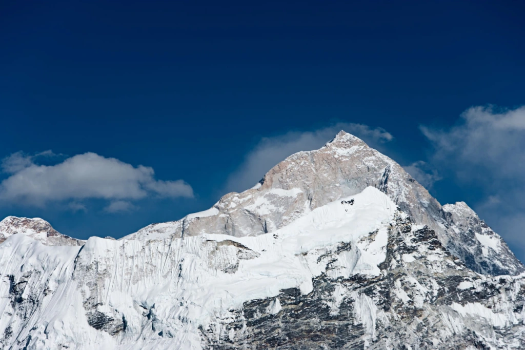
Makalu
Elevation: 8485 meters (27,838 feet) above sea level
In the same mountain range, the Mahalangur Himal in the Himalayas, lies Mount Makalu, the fifth highest peak on Earth. It is located about 22 kilometers (13.7 miles) northwest of Everest and is known for its stunning beauty, resembling a four-sided pyramid.
Mount Makalu has three peaks: the main peak called Makalu and two subsidiary peaks, Makalu South East Peak at 7,860 meters (25,791 feet) and Makalu II or Kangchungtse at 7,678 meters (25,355 feet). The exact heights of several peaks, including the main summit, are uncertain. It is generally accepted that the highest point of Makalu reaches 8,463 meters (27,766 feet) (there is also a version of 8,481 meters (27,825 feet)), while Makalu South East Peak does not exceed 8,000 meters (26,247 feet), although some sources mention a figure of 8,010 meters (26,273 feet). Regardless of these variations, Makalu consistently ranks as the fifth-highest mountain.
The name "Makalu" has Sanskrit roots, meaning "Great Black," and it is believed to be associated with the Hindu god Shiva. Alternatively, it could simply refer to the dark rocky formation hidden beneath the snow and ice.
The history of climbing Makalu began relatively late, only in the 1950s, and lacks the vivid events and dramatic stories often associated with other mountains in the Himalayas. This is true for many peaks in the region, as mountaineers were primarily focused on the peaks vying for the title of the highest. However, the ascent of Makalu is considered technically challenging due to steep sections and the danger of avalanches. Makalu is among the most difficult mountains to climb, with only a few hundred successful ascents.
The first ascent took place in 1955, organized by a French team led by Jean Franco. The expedition was meticulously prepared and organized, proceeding smoothly without any major challenges and with comfort for all members of the group, culminating in a successful summit. Reading an account of this expedition would now be of interest primarily to professional mountaineers. The following year, a journalist prophetically noted that in fifty years, the first ascent of Makalu would pale in comparison, particularly in contrast to the tragic attempts to conquer Annapurna, and that it would become an ironic twist of fate.
In recent years, following a new trend in mountaineering, ascents of Makalu have shifted towards setting new records: winter ascents, speed climbs, and even skiing down from the summit.
It all comes down to how you measure it
The above list of mountains in the top 5, which climbers aspire to reach the summits of, is accurate only when considering the height of the mountain above sea level. In reality, what has become customary and taken for granted is merely a convention. The measurement of elevation can vary depending on different approaches. Are there any other approaches to measuring the peaks, and does the list of the highest mountains change when using these approaches?
The relative height
The height above sea level is referred to as absolute elevation. Interestingly, the sea level itself varies since different regions have different points on the Earth's surface considered as sea level. Each country has its own reference point, known as the mean sea level, which is calculated based on long-term observations. However, the actual sea levels and oceans are constantly rising, and this process has been accelerated in recent years due to global climate change. So, as absurd as it may sound, the absolute height of a summit is a relative parameter.
There is a concept called the relative height of a summit. It is a relatively new way of measuring the height of mountains that has gained popularity among mountaineers only in the past 40 years. However, this parameter is not so straightforward because there are different interpretations of its definition.
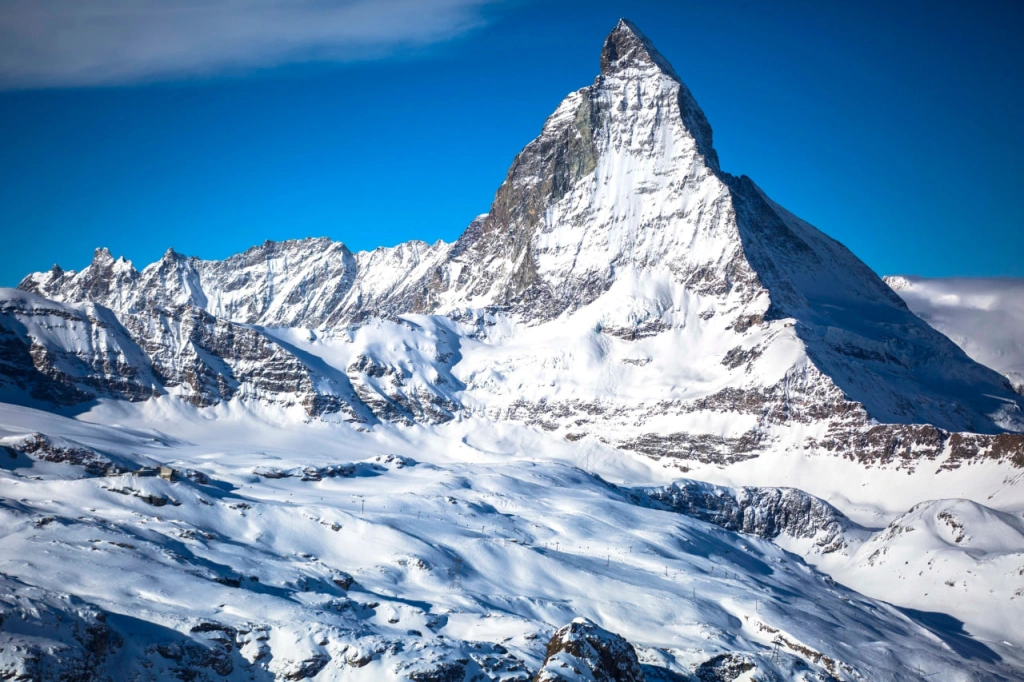
Let's start with the definition of the English word "prominence." It refers to the height of a summit relative to the surrounding terrain. To illustrate this, let's imagine ourselves at the border of Switzerland and Italy. In this place, one of the most beautiful mountains on Earth, the Matterhorn, spectacularly rises above the surrounding landscape. The next time you enjoy a piece of Toblerone chocolate, take a look at the image of this mountain on the packaging. Its absolute height is 4,478 meters (14,692 feet) above sea level. Now, imagine that you have climbed it and try to grasp how much you have actually ascended on the way to this magnificent summit.
The ascent was technically challenging and dangerous. Every year, people lose their lives attempting to conquer this peak, which has claimed over 500 lives. It is considered to have the highest number of fatalities of any mountain. However, let's be honest until the end. When you climbed the Matterhorn, you started from the surrounding mountains and ascended only (3,415 feet), not the full 4,478 meters. The latter number represents the relative height of this mountain.
It is measured from the lowest point around the summit within a radius that excludes the presence of other peaks. This method helps distinguish subsidiary peaks from main peaks and excludes them from the lists of the highest ones. A similar approach is used in determining the list of the highest mountains based on elevation above sea level, but in that case, historical tradition and the presence of names for peaks are the main factors, making the subjective approach more prominent. With the relative height, a specific criterion is introduced — an elevation drop that removes "extra" peaks from the lists. Different authors use different values for this criterion, but the most common cutoff is If a mountain's relative height is less than this value, it is not considered a separate peak and is generally not included in the list.
If we look at the top 14 - the list of the world's highest mountains above 8000 meters, we will see that four of them belong to the Karakoram range and ten to the Himalayas. However,
if we don't exclude subsidiary peaks, the top 10 highest mountains on Earth would include Mount Everest and its nine surrounding sub-peaks. On the other hand, if we compile a
Examples of such lists with the magnitudes of their relative heights can be found in:
The peaklist list.
The peakbagger list. we will get
a much more diverse selection that includes various regions, not just Asia. The top 5 would include mountains such as Mount Kilimanjaro in Africa and Pico Cristobal Colon in Colombia.
Top 5 mountains on Earth by relative height:
- Mount Everest (8,848 meters; 29,029 feet)
- Aconcagua (6,962 meters; 22,841 feet)
- McKinley (Denali)
- Mount Kilimanjaro
- Cristobal Colon
If we look further down the list, in the top 10, we can find mountains located in Canada, Mexico, Antarctica, Indonesia, and Russia. There is no complete dominance of the Himalayan or Karakoram mountains here. Yes, Mount Everest still tops the list, but the holder of the second position in the "classic" list, Mount K2, will only appear in 22nd place in this ranking based on relative height.
This approach and, consequently, the lists of mountains based on relative height are attracting increasing attention from climbers and mountain enthusiasts. In all likelihood, this approach will redirect the focus of climbers from the popular Seven Summits and 14 eight-thousanders to a greater variety of mountains scattered around the world. Other countries besides the current leaders — China, Pakistan, Nepal, and India — where 150 of the highest mountains are concentrated when counting from sea level, will be able to offer interesting climbing routes. When considering relative height, the leading countries, in addition to China, are Indonesia and the United States.
Topographic Isolation
Another way to rank the Earth's mountains in terms of height is to measure them based on a parameter called topographic isolation. As the name suggests, this parameter describes the area where the central values are the mountain's elevation and the radius of the circle that can be drawn around it until the nearest higher mountain is reached. This measurement method also helps differentiate individual mountains from subsidiary peaks. The mountain's elevation is measured in absolute terms, meaning the height above sea level.
The list of highest mountains based on this indicator differs from both previous lists, but if we look at the top five, it will be similar to the list of highest mountains based on relative height. Everest also tops this list.
Top 5 mountains by topographic isolation:
- Mount Everest (no other mountain dominates it)
- Aconcagua - 16,518 kilometers (10,271 miles) of isolation
- Mount McKinley (Denali) - 7,450 kilometers (4,629 miles)
- Kibo (Mount Kilimanjaro) - 5,510 kilometers (3,425 miles)
- Mount Jaya (Carstensz Pyramid) - 5,235 kilometers (3,253 miles)
To explain the distance from a higher mountain, let's consider the dominant mountain for each peak in the top 5. The distance is measured from the highest point of the mountain in a straight line to a point located at the same elevation but belonging to the nearest higher mountain.
For Everest, there are no mountains on Earth with a higher elevation relative to sea level, but sometimes an imaginary circle is taken over the poles for this parameter.
The dominating mountain over Aconcagua in Argentina is Tirich Mir in Pakistan. Over Mount McKinley in Alaska, it is Yanamax in the Tian Shan mountain system in China. The closest dominating mountain over Kilimanjaro is Kuh-e Shashgal in Afghanistan. As for Jaya, the dominating elevation is the peak of Yulunxueshan in southwest of China, also known as the Jade Dragon Snow Mountain.
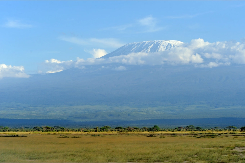
It should be noted that the African Mt. Kilimanjaro, located in Tanzania, is rightly called the tallest free-standing mountain on Earth. Kili’s absolute height is 5,895 meters (19,341 feet) above sea level and it consists of three volcanoes, but if considered as a separate mountain, there is only savannah around it with an elevation drop of up to 4,500 meters (14,764 feet), and the radius of such relief measures 45 kilometers (28 miles). If we consider the there is no lonelier and simultaneously taller mountain in the world.
Height from the base to the summit
In a sense, measuring mountains from sea level is merely a trick of humans who live on land, rarely venturing underwater. But mountains exist everywhere, including in seas and oceans. The commonly accepted trick conceals entire mountains and mountain systems beneath the depths of water, as well as the highest mountain on Earth if measured honestly — from base to summit.
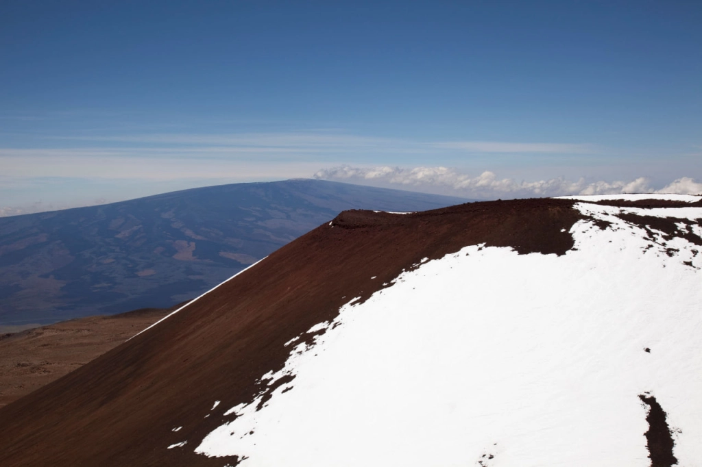
Looking at the Earth's mountains without considering the seas and oceans, we find that the highest mountain is Mauna Kea on the island of Hawaii. It rises 4,205 meters (13,796 feet) above sea level. However, diving into the ocean and heading towards its depths to measure the total height of the White Mountain, as the locals call it, reveals that its full height is 10,203 meters (33,474 feet). By such calculation, Mount Everest lags behind noticeably, by more than a kilometer.
Here the top lists may differ depending on what is considered the base of the mountain, so we won't present a top 5 here.
The farthest point from the center of the earth
There is another way to look at mountains impartially. It's not just about "clearing" the Earth of the water from seas and oceans; we also need to consider our planet while taking into account its specific shape. We are accustomed to perceiving it as a nearly perfect sphere, thinking of it like a globe from our school geography class. However, the true shape of the Earth is more complex — it's not a sphere but a geoid. This means that the solid masses are unevenly distributed inside and on the surface of our planet, with varying planes in different locations.
Why bother with such complex questions and attempt to understand which figure most accurately expresses the shape of the Earth? It's to determine the location of the Earth's center. In a perfect sphere, all points on its surface are equidistant from the center, making it easy to calculate. With a planet of irregular shape, things are more complicated, but the location of its center is known. Therefore, we can calculate the distance at which the peaks of various mountains are situated to understand which one, in this sense, stands farthest from the center of the Earth.
In this case, the mountains will compete not based on their own height but on their height above the Earth's center. This list is perhaps the most unusual. It is explained by the fact that the shape of the Earth tends towards an ellipsoid, as it is flattened under the influence of forces generated by the planet’s rotation. The equatorial radius of our planet is greater than the polar radius. In other words, the point closest to the center of the Earth is located at the North Pole, while the most distant points are closer to the equator. Consequently, high mountains that are closer to the equator have an advantage over those located at higher latitudes.
Top 5 mountains measuring from the center of the Earth:
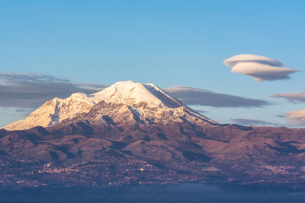
- Chimborazo, Ecuador (6,384,557 meters / 20,565,561 feet)
- Huascarán, Peru (6,384,552 meters / 20,565,545 feet)
- Cotopaxi, Ecuador (6,384,190 meters / 20,565,393 feet)
- Kilimanjaro, Tanzania (6,384,134 meters / 20,565,372 feet)
- Cayambe, Ecuador (6,384,094 meters / 20,565,356 feet)
In this list, Mount Everest will only rank as the sixth highest peak with a measurement of 6,382,414 meters (20,908,646 feet), falling behind the previous volcano by more than 1.5 kilometers. Therefore, if we measure mountains from the center of the Earth, these Andean peaks, along with Mount Kilimanjaro in Africa, surpass all the Asian eight-thousanders. We can say those mountain are closer to the stars than Everest.
The highest mountains in the Solar System
Speaking of stars, or rather celestial bodies within our star system. If we don't limit ourselves to Earth and make a list of the highest mountains in the entire Solar System, Earth's Everest would move down to the 27th position. Even Mauna Kea wouldn't make it to the top ten.
Clearly, discussing the absolute height of mountains on other planets and their moons is not relevant since they lack both sea level and seas themselves. Therefore, in this list, the height is measured from the base to the summit.
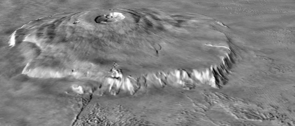
Two peaks compete for the first place here. The first is Mount Rheasilvia, standing in the eponymous crater on the asteroid Vesta. Its height is 22 kilometers (13.7 miles). The top spot is also claimed by Olympus Mons in the Tharsis region on Mars, with a height of about 22 kilometers (13.7 miles) if measured from the average planetary level. However, if measured from the surrounding lowlands, it reaches 26 kilometers (16.2 miles). We will place both peaks in a shared first position.
Top 5 mountains in the Solar System:
- Rheasilvia, Asteroid Vesta (22 kilometers / 13.7 miles)
- Olympus Mons, Mars (21.9–26 kilometers / 13.6–16.2 miles)
- Iapetus equatorial ridge, Saturn’s Moon Iapetus (20 kilometers / 12.4 miles)
- Boösaule Montes, Jupiter’s Moon Io (17.5–18.2 kilometers / 10.9–11.3 miles)
- Ascraeus Mons, Mars (14.9 kilometers / 9.3 miles)
- Ionian Mons, Jupiter’s Moon Io (12.7 kilometers / 7.9 miles)
Over time, our knowledge of other objects in the Universe will continue to expand, and new lists will include more distant objects with higher mountains. So, we should be cautious with statements like "the highest mountain in the world." As we can see, even if we consider only our planet, different answers can be given to the question of which mountain is the highest.
On Earth, in most cases, the answer would be Everest. However, if we consider the height from the base to the summit or from the center of the Earth to the most prominent peak reaching into space, the answers would be Mauna Kea and Chimborazo, respectively. Everest doesn't always turn out to be the highest mountain. It is often surpassed even by the seemingly modest African mountain, Kilimanjaro.
All content on Altezza Travel is created with expert insights and thorough research, in line with our Editorial Policy.
Want to know more about Tanzania adventures?
Get in touch with our team! We've explored all the top destinations across Tanzania. Our Kilimanjaro-based adventure consultants are ready to share tips and help you plan your unforgettable journey.


