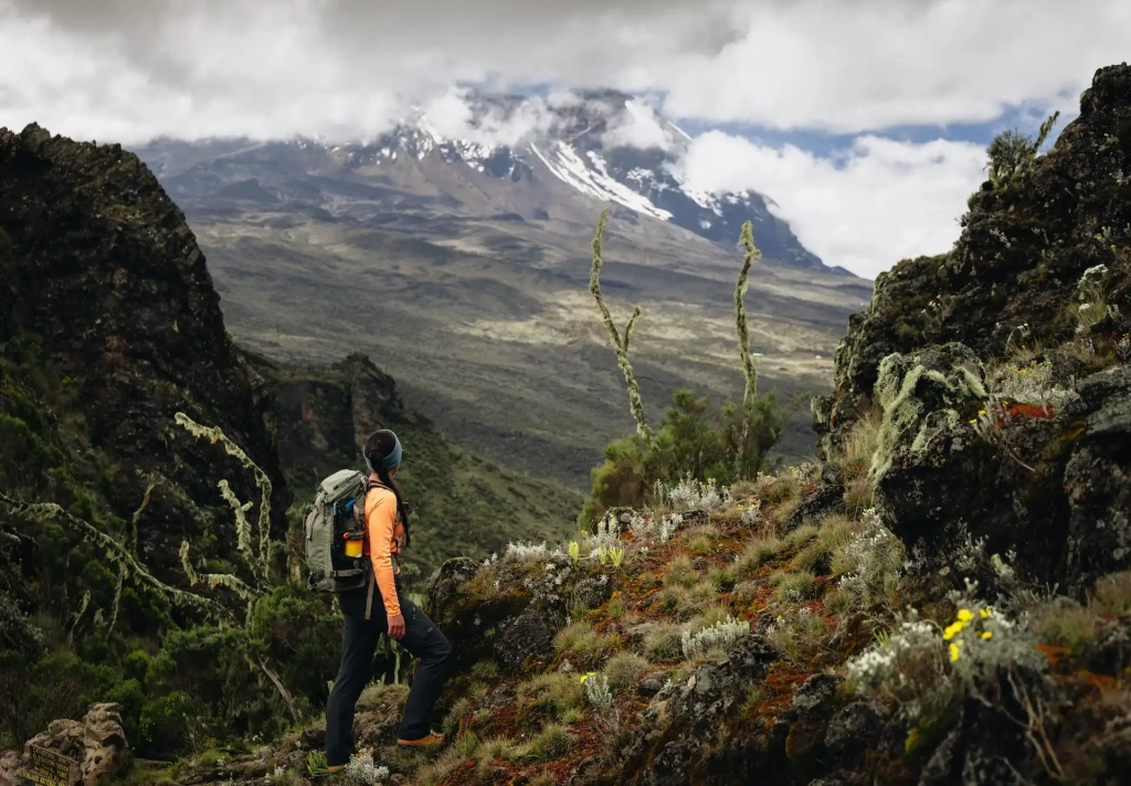
Trekking to Mount Everest Base Camp or summiting the highest peak in Africa, Mount Kilimanjaro? This is a question that almost every trekking enthusiast asks at some point. Different continents, different altitudes above sea level, and different difficulty levels. In this article, the editors of Altezza Travel will guide you through the trails of both to help you choose your next adventure: Nepal or Tanzania.
The Everest Base Camp Trek
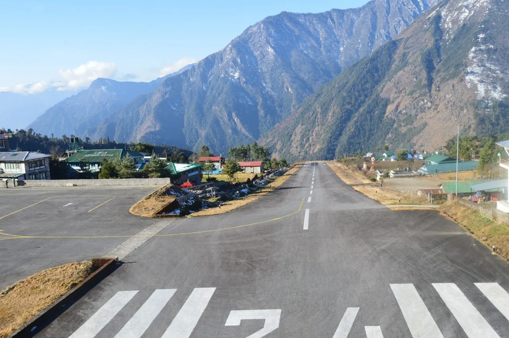
Trekking to Everest Base Camp at an altitude of 5,364 meters (17,598 feet) is one of the most popular routes in the world, attracting around 40,000 people annually. The journey begins in Nepal’s capital, Kathmandu, from where tourists take a scenic flight to the town of Lukla.
The Route to Everest Base Camp
The expedition to the Everest Base Camp (sometimes referred to as the EBC trek) starts almost immediately upon arrival in Lukla. After breakfast, the group heads towards the village of Phakding, where they will spend the first night. The journey time is up to 5 hours. The maximum altitude reached on this day is 2,610 meters (8,563 feet).
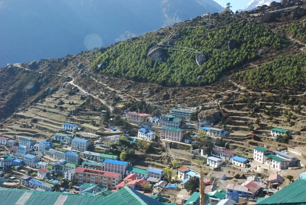
The next day involves a roughly seven-hour hike to the Sherpa town of Namche Bazaar. Due to the significant altitude gain — up to 3,440 meters (11,290 feet) — many groups spend up to two days here to allow the body to acclimatize. Sea level is now far below. The “rest day” usually includes walks, visiting the local museum, and taking in views of Everest from a viewpoint located at the highest hotel in the world, Everest View, at 3,880 meters (12,730 feet).
Namche Bazaar is often called the last bastion of civilization (although this is not entirely true). Ahead lies a multi-day trek with stops for one or two nights in Sherpa villages like Tengboche, Dingboche, and Lobuche. The itinerary includes at least six-hour treks and breathtaking views of the Himalayan range. During this time, the group ascends to over 5,000 meters (over 16,400 feet).
After acclimatizing in Lobuche, the key day of the expedition begins — climbing Everest Base Camp. First, the group heads to Gorak Shep — the highest settlement on the planet, located at 5,164 meters (16,942 ft) above sea level. From there, the final ascent is made over rugged terrain to an altitude of 5,364 meters (17,598 ft). You’ve arrived!
The return to Lukla takes from several hours to several days, depending on the chosen route. Operators offer a return route via valleys and mountain lakes, or, for those with the budget, by helicopter.
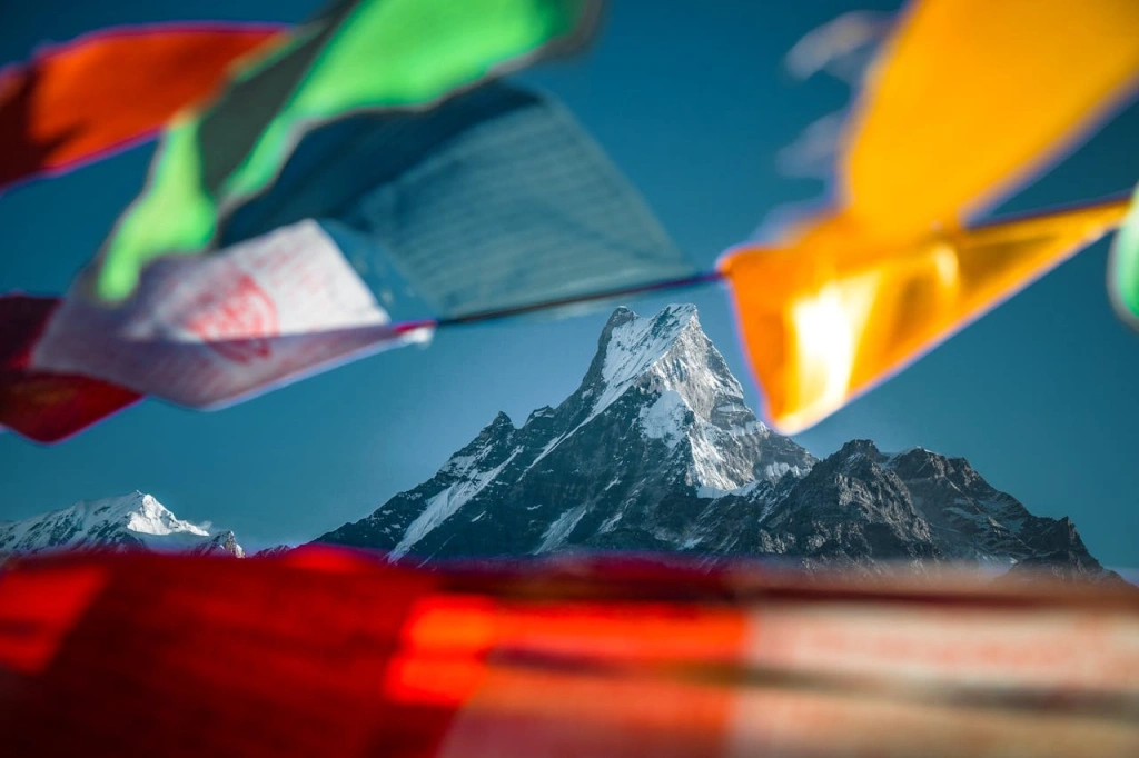
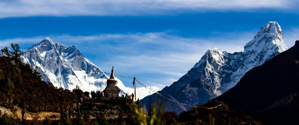
Whichever option you choose, the route will pass through picturesque Sherpa mountain villages, suspension bridges, Sagarmatha National Park (a UNESCO World Heritage Site), monasteries, dense forests, and glacial rivers. All this is surrounded by the snow-covered peaks of the world’s highest mountains.
These features make the trek an unforgettable adventure, giving travelers the chance not only to experience the culture and nature of Nepal but also to walk in the footsteps of climbers — both those who were the first to assault Everest’s summit and those for whom Base Camp is not the final destination, but the place where the adventure of a lifetime begins.
What's the weather like on the Everest Base Camp hike?
In the summer, the weather in this region is influenced by the Indian monsoon, which brings rain and clouds. From late September, a warmer and drier season begins, with daytime temperatures reaching up to +20 °C (68 °F) and nighttime temperatures dropping to +5 °C (41 °F).
Autumn and spring months are the most favorable for trekking. During these periods, the density of movement on the routes can rival the busy streets of Kathmandu.
Winter brings strong winds, low temperatures, and snowfalls. However, some still consider this season favorable: the trails are not crowded, and the harsh weather conditions are a good challenge for more experienced travelers.
How difficult is the Everest Base Camp trek?
The trek to Base Camp is classified as moderately difficult and does not require professional training. But even considering that the route lies at a lower altitude, it can feel more strenuous compared to climbing Kilimanjaro.
Duration and Distance: The expedition typically lasts around two weeks and involves covering long distances with constant elevation gain, so it’s essential to consider the cumulative fatigue effect. The option to return to Lukla by helicopter was introduced not as a tourist attraction.
Time at Altitude: Despite Kilimanjaro’s summit being higher, trekkers aiming to complete Everest Base Camp trek spend more time at altitude, increasing the risk of altitude sickness symptoms.
Terrain: The route involves crossing glaciers and traversing rocky terrain. Combined with other factors, this makes the journey quite strenuous.
Climate: The weather in the Himalayas is unpredictable. Sudden changes in temperature, snow, or strong winds, which can occur even outside the winter months, can turn the trek into an even more challenging ordeal.
Risks: The Himalayan range is prone to earthquakes, which can trigger landslides and avalanches. While this is rare on the Base Camp route, it’s a risk that shouldn’t be ignored.
Climbing Mount Kilimanjaro
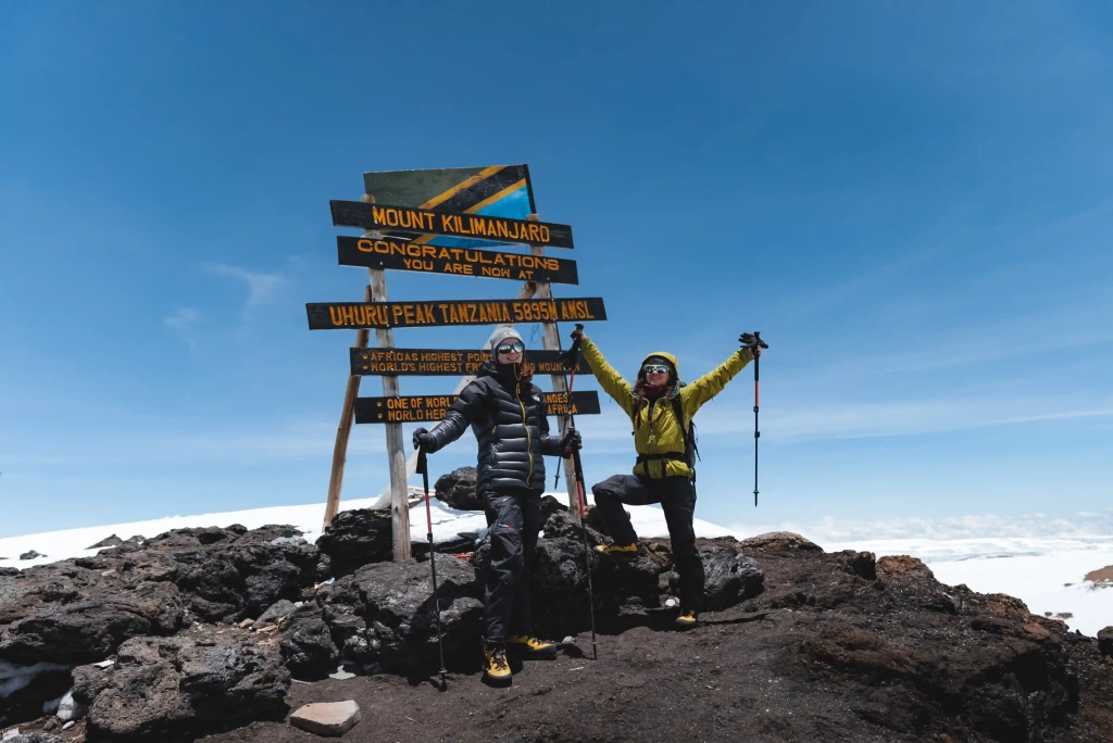
The summit of Kilimanjaro, Uhuru Peak, rises 5,895 meters (19,341 ft) above sea level, making it the highest point on the African continent and the highest freestanding mountain in the world. The similarity in altitude compared to the climb to Everest Base Camp, as well as the accessibility for beginners, is why many trekkers choose between these two routes. However, unlike on the trek in Nepal, in Tanzania, you’ll be ascending one of the legendary “Seven Summits” rather than just trekking to its base.
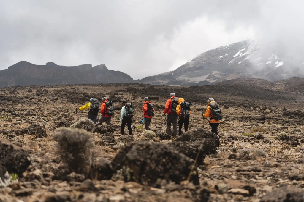
Due to the volcano’s proximity to the equator and its vertical climate zones, climbers successively pass through most of Earth’s climatic zones — from banana and coffee plantations to tropical forests and Arctic deserts. Eight routes lead to Kilimanjaro’s peak: Lemosho, Umbwe, Marangu, Machame, Rongai, Northern Circuit, Kilema, and Western Breach.This division is rather arbitrary since many trails can merge at the beginning, near the summit, or during the descent. One of the most popular and suitable for everyone is the seven-day Lemosho route. It features a gentle acclimatization program, breathtaking landscapes, and the highest success rate — 94.9%. Let’s take a closer look at this route.
Kilimanjaro trek: the routes
The first day of the expedition is the arrival at Kilimanjaro Airport (JRO) and checking into a hotel. Unlike the Everest trek, where the group hits the trail almost immediately after landing in Lukla, here you get a day to rest after the flight.
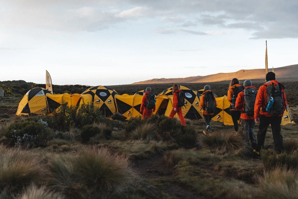
The next morning, climbers meet the support team and are driven to an altitude of 3,414 meters (11,201 ft) on the Shira Plateau in Kilimanjaro National Park. The drive takes about 3-4 hours, with another two hours spent hiking to the first high-altitude camp, “Shira 1.” There is no significant altitude gain on this day, and the first night under the Tanzanian stars will be spent at 3,610 meters (11,844 ft) above sea level.
On the third day, the Kilimanjaro climb continues to “Shira 2” camp at an altitude of 3,850 meters (12,631 ft). The hike does not require serious physical effort, allowing climbers to enjoy the African landscapes. In particular, there will be an opportunity to ascend Cathedral Peak (3,872 meters or 12,703 ft), which offers a clear view of Mount Meru and a valley reminiscent of a “lost world”. After a two-hour rest in the camp, an acclimatization hike is made, gaining up to 200 meters (656 ft) in altitude before descending back down.
In the morning, climbers head to a key point on the route — Lava Tower. The culmination of the trek, lasting up to eight hours, will be lunch at an altitude of over 4,600 meters (15,091 ft). Afterward, there is a descent to Barranco Camp (3,900 meters or 12,795 ft), from where you can see a massive cliff – the Barranco Wall. The next day, climbers will tackle it. The trail is not dangerous, the ascent takes about an hour, after which there will be time to photograph Mount Kibo and rest before the trek to Karanga Camp at an altitude of 3,995 meters (13,107 ft), followed by another acclimatization hike.
On the sixth day, the climb continues to Barafu Camp at an altitude of 4,640 meters (15,223 ft). The trek will take no more than 4-5 hours. The rest of the time is allocated for rest and sleep.
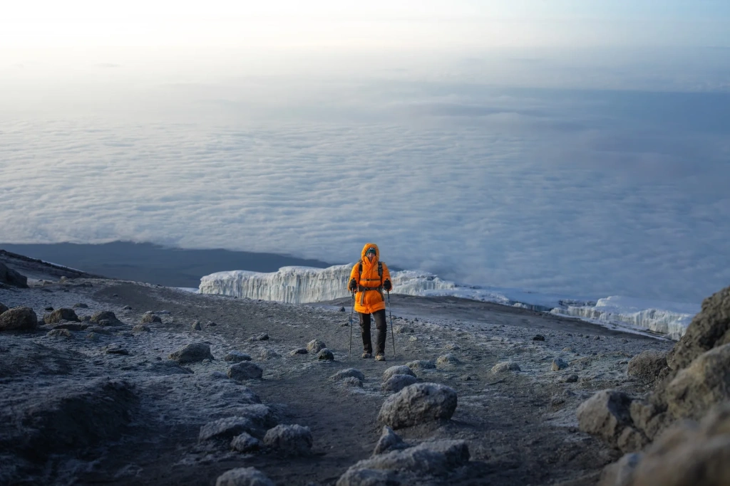
The summit night begins on the seventh day. Technically, it’s not particularly difficult; the main challenge is the altitude. The success of the summit day hike largely depends on the professionalism of the support team. Guides must monitor the morale and physical condition of the climbers, select the most suitable pace, and provide individual assistance if necessary.
The most determined and enduring climbers will be rewarded with the opportunity to watch the sunrise above the clouds, with views of the African plains. On the summit, there will be time to catch your breath, take photos, and, if desired, descend to the nearest glacier. Then comes the descent to Barafu Camp, a two-hour rest, and the continuation of the descent to Millennium Camp, located near the tropical forest at an altitude of 3,950 meters (12,959 ft). In total, travelers will spend up to 14 hours on their feet and cover a distance of 15 km (9.3 miles).
On the morning of the eighth day of the expedition, participants will feel significant relief from the lower altitude. After breakfast, the descent continues to the exit of the National Park, at Mweka Gate (1,640 meters or 5,381 ft), followed by a transfer to the hotel. It’s best not to plan your return home on this day. An international flight isn’t exactly what your body needs after summiting the continent’s highest point.
Alternative routes to the summit of Mount Kilimanjaro
Machame: Another highly popular route to the “Roof of Africa,” sometimes also called the “Whiskey Route.” It features a gentle acclimatization program and passes through all the climate zones of Kilimanjaro. Beginners are recommended to opt for the seven-day expedition. In this case, the probability of summiting is about 93.1%.
Marangu: Also known as the “Coca-Cola Route,” this is the only route where climbers sleep not in tents but in wooden huts for 4-8 people. These significantly increase comfort during the rainy seasons. The trail follows the path of Hans Meyer and Ludwig Purtscheller, who were the first to reach the summit in 1889. The success rate is between 83.8% and 86.6%. Beginners are advised to choose the six-day expedition.
Rongai: The only route that passes along the rarely visited northern slope of the volcano. The trail begins in a coniferous forest and passes through all the climate zones of Kilimanjaro — from the cultivation zone with coffee and banana plantations to the Arctic zone with massive glaciers. The success rate ranges from 86% to 86.6%, depending on the climber’s experience and the expedition’s duration.
Northern Circuit: The newest and longest route on Kilimanjaro, the only one where you can see all four sides of the volcano. It features long hikes, gradual altitude gain, gentle acclimatization, and remoteness from popular trails, although the first days of the ascent follow the Lemosho route. Suitable for more experienced climbers who are prepared to cover long distances with elevation gain. The statistics show that about 81.3% of trekkers on this route reach Uhuru Peak.
Umbwe: One of the least popular and, therefore, least crowded routes in the first days of the expedition. On the third day, the trail joins with Lemosho and Machame, but until then, it is considered more demanding due to its steep ascent. The route also passes through all climate zones. The success rate is 97.8%. Such a high figure is explained by the fact that Umbwe is chosen by experienced travelers. For beginners the success rate is likely to be around 90%.
Kilema: The only route designed for mountain biking ascents. It runs along the eastern slope parallel to Marangu, with which it merges at Horombo Camp.
Western Breach: A rarely used route that leads to the summit through the western breach in Kilimanjaro’s crater and Arrow Glacier Camp (4,860 meters or 15,945 ft). This trail’s unpopularity is due to the high risk of rockfalls.
What's the weather like in Kilimanjaro?
The most favorable periods for climbing are from late December to early March and from mid-June to late October. During this time, Tanzania enjoys dry and sunny weather, which attracts many climbers to Kilimanjaro.
In the other months, it rains, though the slopes aren’t left empty. Rainfall usually occurs in the afternoon when expedition participants are already in camp. The least crowded periods during the off-season are early June, early March, and late October.
Experienced climbers advise treating this information as a guideline rather than an exact forecast. Over time, due to climate change, the weather is becoming more unpredictable, so it’s best to be prepared for any conditions.
Is climbing Kilimanjaro difficult?
Climbing Uhuru does not require mountaineering experience or equipment, nor will climbers need to cover long distances or face the stress of landing at the world’s most dangerous airport. However, the worst thing you can do when preparing for a trip to Tanzania is to underestimate the challenge ahead.
Is Mount Everest Base Camp harder than Kilimanjaro?
The Everest Base Camp trek is generally considered harder than Kilimanjaro due to its longer duration (12-14 days) and sustained high altitude, which increases the risk of altitude sickness. However, Kilimanjaro’s summit is higher, and the final ascent is more physically demanding.
The main factors to consider when climbing Mount Kilimanjaro are:
Time for Acclimatization: Routes to the “Roof of Africa” are designed to last five to eight days, meaning climbers have half the time for acclimatization. The endurance of the expedition participants and the professionalism of the guides are crucial.
Altitude: A distinctive feature of climbing Kilimanjaro is the rapid altitude gain to 5,895 meters (19,341 ft), especially on some routes. For this reason, beginners are better off choosing the seven-day Lemosho or Machame routes, where the risk of altitude sickness is minimized.
Climate Zones: The trails pass through various climate zones in a relatively short time. The body must quickly adapt not only to the altitude but also to changes in temperature and humidity, which can make the ascent more challenging for some.
All content on Altezza Travel is created with expert insights and thorough research, in line with our Editorial Policy.
Want to know more about Tanzania adventures?
Get in touch with our team! We've explored all the top destinations across Tanzania. Our Kilimanjaro-based adventure consultants are ready to share tips and help you plan your unforgettable journey.


